I made it to Alabama today – State #7!! This was a beautiful ride along the Gulf
Coast and around Mobile Bay today. Lot’s
of cool pictures, as well.
I rode from Biloxi, MS to Gulf Shores, AL today. A ride of 88 miles and a little over 600 ft of
good climbing, basically all of which was just on the arched bridges that I
crossed throughout the day. Other than
that this is very flat territory. By far
the best way to get across the Mobile Bay area as a cyclist is to take a ferry
that crosses at the southern most point of the bay and is only about a 5-mile
ferry ride (about 30 minutes to cross over).
The route: Hwy 90 going out of Biloxi and well into Alabama,
then on Hwy 188 and 193 riding down to Dauphin Island on the Southwest side of
the bay. I then took the Mobile Bay Ferry
across the channel and then Hwy 180 for about 20 miles East, finishing up with
Hwy 59 and Hwy 182 into my hotel on the Gulf Coast.
Flat tire #7 today.
The route I took had super smooth roads for 90% of it but there is a 10-mile
stretch on Hwy 90 that was chip sealed with sharp rocks. One of them actually cut through my tire
enough to let the tube come out and pop – quite spectacular… Not a big deal, but too bad really because so
much of the route is on really nice and enjoyable roads to ride on.
The weather: Today was the day that I was almost 100% sure
to get wet, if not totally soaked. The
forecast was for heavy rains and thunderstorms in the area. Long story short – I came very close to that,
but was very lucky (!) and avoided the rain all day. You’ll see from one of the pictures below,
that I was very close to some major thunderstorms, but avoided them… It was cloudy all day with relatively light
breezes and very humid throughout the day with Temps in the 60s.
I took a ton of photos today, so, on to the pictures!
Saw these 2 folks walking just outside of Biloxi this morning. Part of this very long walking relay: http://www.equipworldrelay.org.

Pretty typical landscape along Hwy 90 today.

There is a naval ship repair depot that I passed. In the far distance is one of our aircraft carriers undergoing maintenance - cool to see and something I hadn't expected.

Church that almost looks like it should be in New England.

I'm sure I'll see a few more of these in Florida, but this was the first I've seen thus far - an airboat touring company, that takes folks out looking for alligators. I got the flat tire not too far after this, and along the swamp where they do their tours - I kept an eye on the swamp as I changed the tire, but no 'gators today...

Alabama state line along US Hwy 90!!! State #7.

This was the thunderstorm cell that was following me as I was going East on US 90. Luckily I made it to my turn going South and just missed that storm today!!

Draw bridge on my way to Dauphin Island.

Nice little port with some commercial fishing boats. One of them is from Alaska - long ways from home.

Wetlands about 15 miles north of Dauphin Island, as I was heading south along the western shore of Mobile Bay.

Typical landscape of the Alabama Gulf Coast.

Riding along the peninsula that leads south to the bridge that crosses over to Dauphin Island.

First Bald Eagle that I've seen on the trip. I first saw him today when he was chasing another bird right over the highway, and over my head. This picture is of him circling back and flying out ahead of me.

And then he landed on a utility pole about 40 yards from me. Awesome!!!

Heading back down the arched part of the bridge going to Dauphin Island (you can just barely see the island through the haze in the distance).

Finally made it to the island - about 65 of the 88 miles complete.

One of the first things I encountered on the island - a huge Gumbo festival - it smelled incredible. I didn't have time to stop and eat but there were a few local cyclists outside of the gate, so I chatted with them for a few minutes and they were nice enough to snap this picture of me on the bike.

Fort Gaines on Dauphin Island. Pretty cool harbor fort built in the early 1800s. This was built to protect the western edge of the 5-mile inlet to Mobile Bay. More info here: http://dauphinisland.org/fort.htm.


The next two pictures are of a ship built in the 1800s or early (sign and ship part). This thing came ashore and destroyed a house during a hurricane - wow!


OK, so I became a bit overconfident in the ride today (long but flat terrain) and so this was my lunch (which I've never done on the trip) while waiting for the ferry today :-)

Video clip just as we departed Dauphin Island on the ferry. This is a US Coast Guard station on the island (with a bunch of people staying near it in tents for some reason) and then also Fort Gaines.
So, as I was wandering around the ferry, I came upon this sign. President Obama is pretty lucky to have stood in a spot where I was now standing!

Oil rig in the middle of Mobile Bay - there were quite a few of these that we passed on the ferry ride.

I didn't stop to see this one, but this is the fort on the East side of the inlet to Mobile Bay.

I then had a 20 mile ride east along the Gulf Coast - typical landscape for the first 5-10 miles:
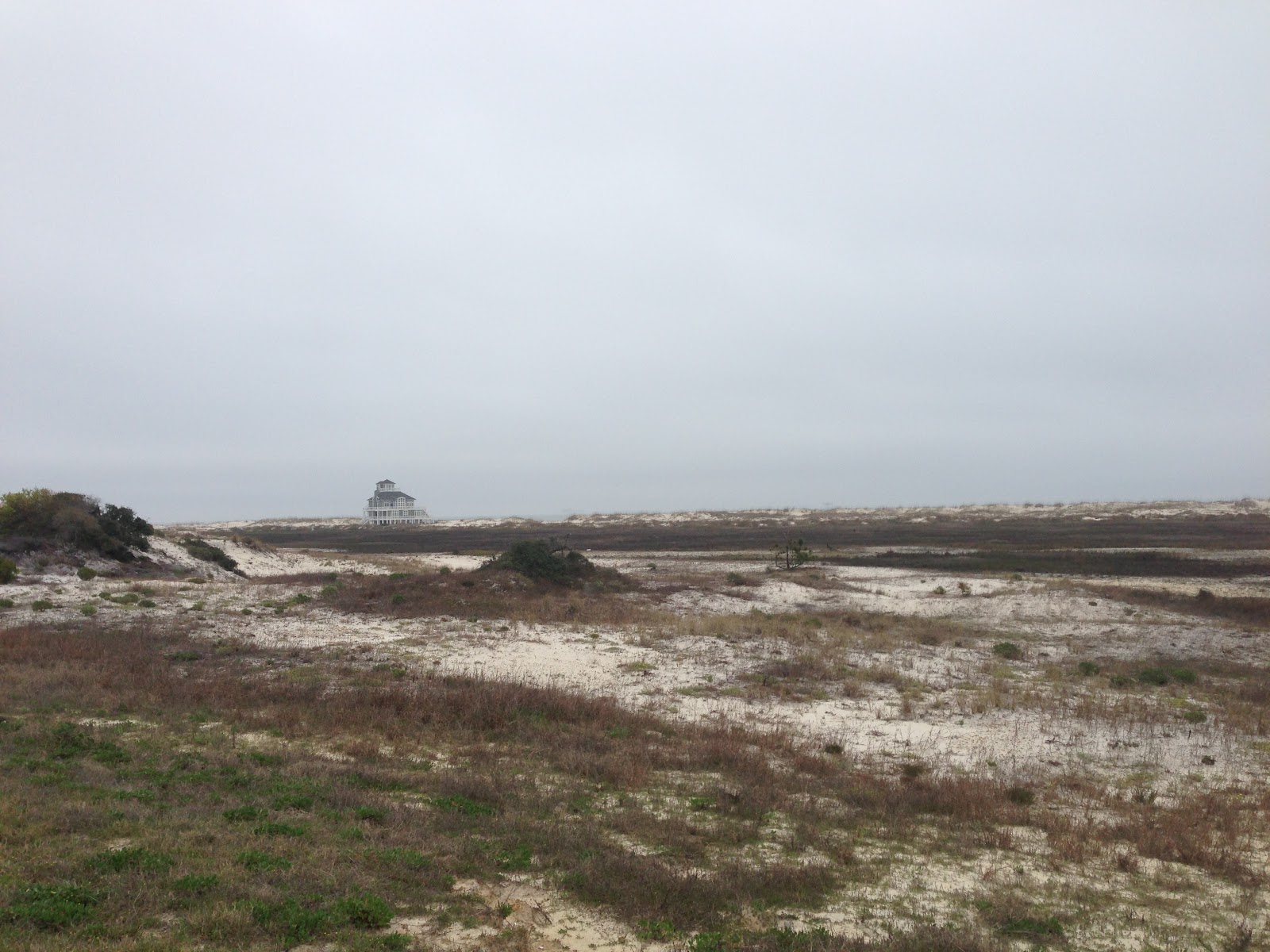
And then further along just outside of Gulf Shores, AL. Really nice area with a number of wildlife reservations, many homes and condos - looks like a great place for a summer home.

Updated map - making some progress and more to come tomorrow!

No comments:
Post a Comment